• A caracute and a virgate

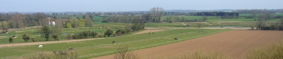
    The Domesday Book, that written record of the Norman Yoke, states that the ploughable land in Brampton extended to a ‘caracute’ and 30 acres (a ‘virgate’). This is a total area of 150 acres or thereabouts.

    A check of the maps shows that this area coincides with the area occupied by the fields around Brampton Hall and St Peter’s Church and those which lie further south towards Street Farm. This could include the Church Field, Seven Acres, Kiln Field, Hill Field, Winter Letts, Topletts and the Town Field. This needs to be verified by Mr Pope.

    Additional information form the Domesday Book specifies that this was tended by 25 peasants with a total of that the 3 teams of Oxen (or 24 beasts as each team was said to be of eight oxen).

  • The Town Field in November

    The 26 acre field behind the cottage, known as the Town Field, has taken on a distinctly tawny hue. The colour a combination of the natural decay of the barley stubble remaining from August’s harvest and an autumn application of herbicide. The field is by no means barren.

    The Town field was presumably the main Open Field for the village. A Tithe map of 1837, which seem to record the tidying up of some ancient areas of strip cultivation, shows four distinct hedged enclosures. This same map shows the bisecting route of the new railway in an authoritative Victorian pencil stroke.

    Before the railway was built through the middle of the Town Field in about 1879, these four fields ran with three more enclosures in a continuous group to the Aylsham / Buxton Road. Mrs Vincent reminded me once that a farm track led from Lower Farm all the way across to the Buxton Road and you can see the route on the old plans.

    Now the embanked railway line alters the lie of the land so radically to make this appear unlikely – but it is true, and what a change must have been felt in the village at that time.

    The field today is more reminiscent of the ancient open field than it was in the 19th and 20th centuries. This morning flocks of a dozen or so Skylarks continue to glean seeds from the field.

  • Saturday morning Magpie

    A single Magpie takes up a sentinel like pose at the top of a Wild Cherry tree. The Cherry tree marks what we assume to be the on the edge of the old Roman shore. Before the Mill owners a and Dutch engineers contained of the Bure in it’s current course, this would have been the edge of marshy ground. The Magpie is surveying the country and from this position it cover a wide sweep of the Bure, grazing marshes, the village and the swell of rising ground towards Limekiln Farm. A rattling call sees it loop off in search of some unknown morsel.

    The Roe Deer are conspicuous by their absence. An hour after dawn and there is no sign. Perhaps the declining feed value of the grass near the Belt Wood has made them concentrate on other sources. The only reports I have are of Muntjac skulking around the sugar beet at Oxnead.

Cookies For Comments Image